A disputed line: China's aggressive claim on Arunachal Pradesh
China has just officially released the 2023 edition of its "standard map," which shows the state of Arunachal Pradesh (called Southern Tibet or Zangnan in Chinese) and the Aksai Chin region as part of its territory. India has lodged a strong protest with China over the new map, making this the latest in a series of tensions between the two Asian neighbours
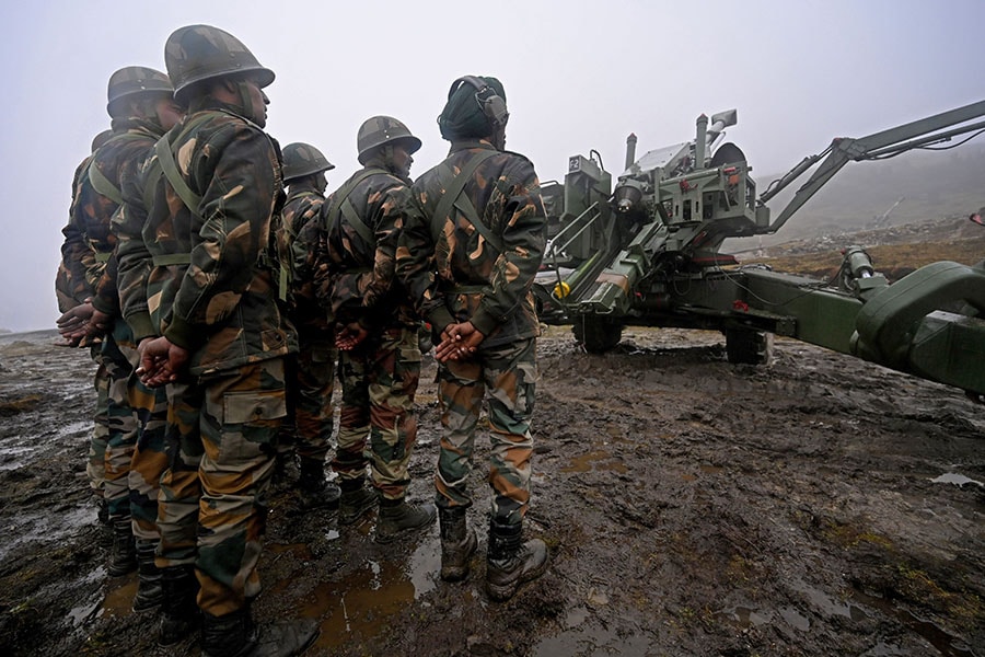 A file photo of the Indian Army at Penga Teng Tso ahead of Tawang, near the Line of Actual Control (LAC), in Arunachal Pradesh in late 2021. Image: Money Sharma/ AFP
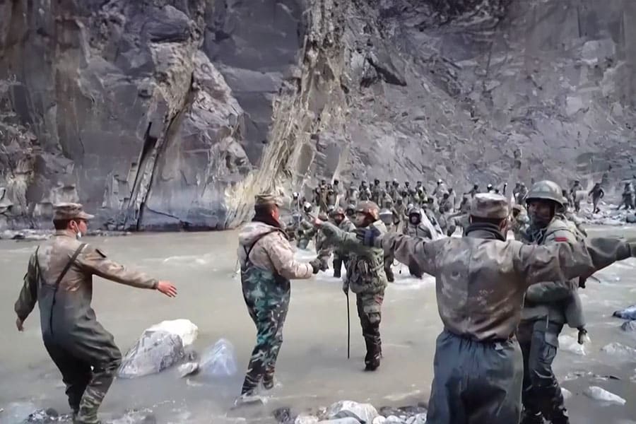
The release of China’s version of a new map claiming Indian territories will only serve to exacerbate the military stand-offs involving thousands of soldiers on both sides of the frontier along the Line of Actual Control (LAC) in the western Himalayas. On December 9, 2022, Chinese troops tried to transgress the LAC and dislodge an Indian post in the Yangtse area near Tawang sector. This led to clashes with Indian troops, leaving dozens with what the Indian army described as “minor injuries”. The deployment of aerial platforms including drones by China in the region had preceded its attempts to unilaterally change the status quo in the Yangtse area.
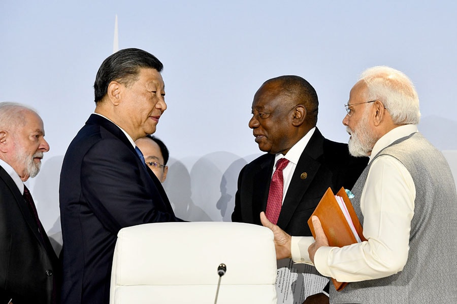 Indian Prime Minister Narendra Modi and Chinese President Xi Jinping and others meet on the sidelines of 15th BRICS summit in Johannesburg, South Africa, on August 24, 2023.
Image: BRICS/Anadolu via Getty Images
New Delhi’s protest over the map comes only days after Indian Prime Minister Narendra Modi spoke with China's President Xi Jinping on the sidelines of the 15th BRICS summit in Johannesburg last week. Modi is known to have highlighted concerns about the disputed Himalayan frontier and agreed on early disengagement and de-escalation of military tensions along the borders at Ladakh, according to reports.
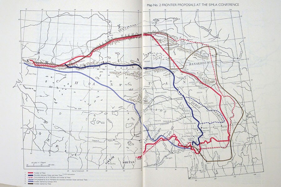
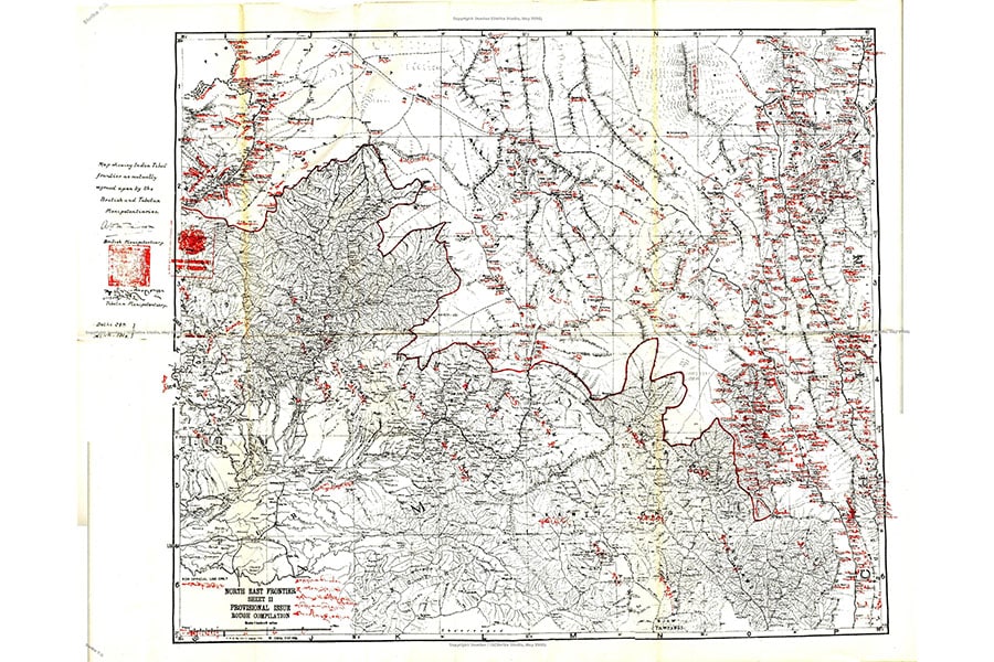 The eastern portion of the McMahon line drawn on Map 2 shared by the British and the Tibetan delegates at the Simla Conference, 1914.
Image: Public Domain/Wiki
The root cause of the fresh tensions is the McMahon Line, a poorly demarcated 885 km long-disputed boundary in the Northeast—a line that is continually shifted by rivers, lakes and snowcaps, one that runs from the eastern border of Bhutan along the crest of the Himalayas and passes the great bend in the Brahmaputra river emerging from the Tibetan plateau and flows into the Assam Valley.
